6 Nights / 7 Days
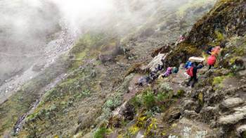
The Rongai route is one of the most favourable routes to attempt Kilimanjaro during the rainy season, as it sees substantially less rain than the southern routes. The route ‘also known as the Nalemuru route’ is the only route that approaches Kilimanjaro from the North, close to the Kenyan border. Rongai route offers a true wilderness experience in the early stages of the climb, it is the preferred route for those looking for an alternative to the crowded Marangu route, for those who want a more remote hike and for those who climb during the rainy season (the north side receives less precipitation).
Our professional climbing crews will take care of your safety and comfort. Our expert local team will surprise you with their cooking skills and the porter will carry all mountain equipment. The guides will be leading the route and sharing their knowledge about the mountain, culture and history of Tanzania. Our cost includes Pre and post-climb accommodation and airport transfer.
Elevation: 1900m/6270ft to 2626m/8665ft
Distance: 8 km
Hiking time: 3-4 hours.
Vegetation Zone: Rainforest
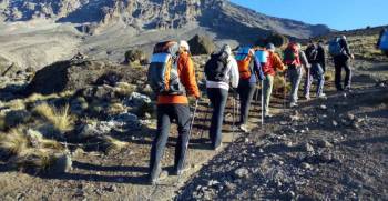
Drivers will pick you up from the hotel and drive you to Marangu Gate, where registration takes place. After that, the driver will drive you to Rongai Gate/Nalemuru, which will require about 3 hours. Lunch will be on the way to the gate or at the gate before starting your climb. Your hike will start in Nalemuru village. The small winding path crosses maize, beans, and potato fields before entering the pine forest and then climbing gently through a forest. Here is home to a variety of wildlife, including the Black and White colobus and Blue monkeys, Baboons and different species of flowers. This is the tent route. Dinner will be served in your mess tent and you will camp in the Moorland area.
Elevation: 2626m/8665ft to 3450m/11385ft
Distance: 6 km
Hiking time: 4-5 hours.
Vegetation Zone: Moorland
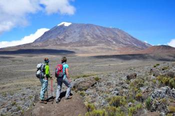
After breakfast, we hike slowly through the moorland to the Second Cave. Here, you will have your lunch. During lunch, you will enjoy the view of Kibo, the eastern ice fields on the crater rim. The guide will lead you to Third Cave around 4:00 pm for a short acclimatization, and afterwards, you will be able to enjoy the Kenyan plains and then be led back down for dinner.
Elevation: 3450m/11385ft to 3600m/11880ft
Distance: 6 km
Hiking time: 3-4 hours.
Vegetation Zone: Moorland
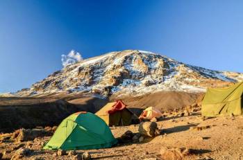
This is a short day. After breakfast, we will hike very slowly and head southeast up and down the small path through the moorland. We will also hike towards Mawenzi’s peak. Our campsite is in a sheltered valley. Here you will have lunch, get time to explore the area, relax, take some pictures
Elevation: 3600m/11880ft to 4300m/14190ft
Distance: 5 km
Hiking time: 3-4 hours.
Vegetation Zone: Alpine Desert
This is another short day hike, but steep on grassy slopes. At the top, you will have magnificent views from a different angle of the National Park and Mawenzi Peak. You will arrive at Mawenzi Tarn Hut for lunch. You will then have a whole afternoon to explore the surrounding area and do acclimatisation.
Elevation: 4300m/14190ft to 4720m/15576ft
Distance: 10 km
Hiking time: 5-6 hours.
Vegetation Zone: Alpine Desert
After breakfast, we walk west through the Saddle and Lunner deserts, between Kibo and Mawenzi. It takes 5 to 6 hours to reach Kibo Hut. Sometimes you will have to pack lunch and stop on the way for lunch or a hot lunch at Kibo Hut. However, it depends on your speed. The route is dry but provides a spectacular view of the mountains. At Kibo Hut you will be served an early dinner then go to bed.
Elevation: 4720m/15576ft to 5895m/19453ft to 3720m/12276ft
Distance: 21 km
Hiking time: 13-15 hours.
Vegetation Zone: Alpine Desert/Arctic zone/Moorland.
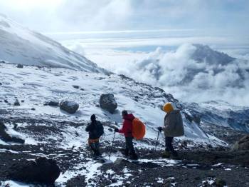
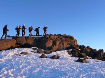
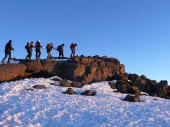
This is your special day when your dream comes true, your guide will wake you up around 11:00 pm for tea and biscuits, Summit will begin at midnight, we follow a switchback path up to a volcanic scree slope, passing William Point (5000m/15000 ft) to Hans Meyer Cave (5200m/17000 ft), after a short break we proceed to Gillman’s point (5681m), which is located on the crater rim.
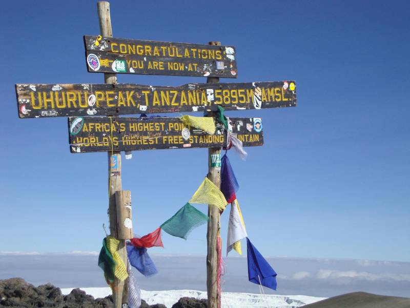
A bit further around the crater, we reach our goal, Uhuru Peak (5895m/19453ft), the roof of Africa. You’ll have a short time to take photos at the summit. Descending to Kibo Hut is fast. After lunch, other refreshments. Continue to the Horombo huts. You’ll enjoy your last dinner on the mountain in the evening despite your exhaustion.
Elevation: 3720m/12276ft to 2720m/8976ft
Distance: 19 km
Hiking time: 6-7 hours
Vegetation Zone: Moorland/Rainforest.
This is another big day, which after an early breakfast your staff will sing and dance past for you. After all, we will descend past Mandara Hut before reaching the Marangu gate. We will cross through the moorland to the rainforest where you can spot many birds, tall trees, flowers, and many interesting things. Our route will end at Marangu Gate which will require all hikers to sign out to receive certificates of completion. A driver from Hilbas tours will drive back to Hotel. On the way back you will pass through coffee and banana farms around Marangu village.
| No of pax | Age Limit | Price per pax (Rs) |
|---|---|---|
| Adult | Above 15 years | $ 2336 / Adult ( With Tax ) |
We deal in Tour Operator Services. Read More...
 1D/0N
1D/0N
 1D/0N
1D/0N
 1D/0N
1D/0N
 1D/0N
1D/0N
 1D/0N
1D/0N
 1D/0N
1D/0N
 5D/4N
5D/4N
 7D/6N
7D/6N
 7D/6N
7D/6N
Amritsar Chandigarh Delhi Agra Family Pa..
New Delhi - Agra - Vrindavan - Mathura - Amritsar
 7D/6N
7D/6N
 7D/6N
7D/6N
 7D/6N
7D/6N
Golden Triangle - East India Tour
Kolkata - Puri - Imphal - Agartala - Dimapur
 7D/6N
7D/6N
 7D/6N
7D/6N
 7D/6N
7D/6N
 7D/6N
7D/6N
 7D/6N
7D/6N
 7D/6N
7D/6N
 13D/12N
 4D/3N
4D/3N
 8D/7N
8D/7N
 8D/7N
8D/7N
 5D/4N
5D/4N
 7D/6N
7D/6N
 7D/6N
7D/6N
 7D/6N
7D/6N